
Definition
Noun
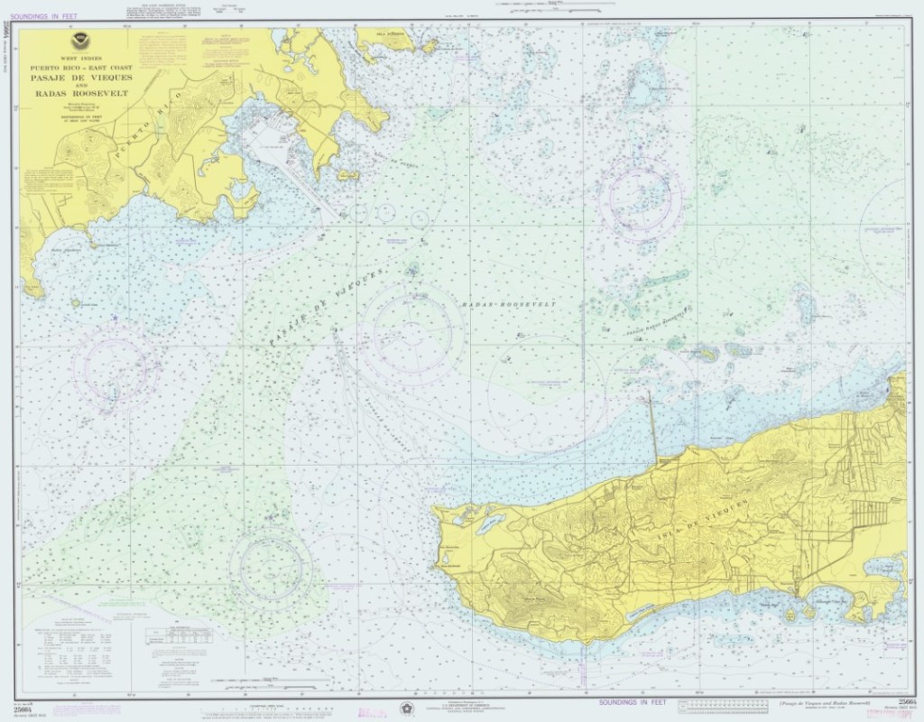
- A map of the water.
Origin
14th century. From French, charte, and Greek, khartes. Meaning map. Could also be of Egyptian origin.
Comments
Another example of nautical semantic pendantry. Sailors do not refer to them as maps. While it may seem like water is all the same, charts provide important hydrographic information to mariners. Water depth, currents, navigational hazards, Aids-to-Navigation (ATONs), etc. can all be noted on charts and need to be paid attention to. Similarly, it is important to have the most up-to-date charts. Thankfully, the information has become more digitized over the past few decades. For the United States, NOAA has a variety of charts of U.S. coastal waters available for download or in print form.
References
Rogers, J.G. (1985). Origins of Sea Terms. Mystic Seaport Museum.
